3D Mapping and connectivity
data for Jersey
Three surveys of Jersey's public road network and built environment,
capturing street-level imagery, precise 3D data and real world mobile coverage.
 Made possible through
Jersey's data is getting an upgrade.
Street View imagery that's ready for a refresh. Mobile coverage benchmarked independently for the first time in over a decade. The data that people use every day to get around, find signal, run a business, and respond to an emergency, is being brought up to date.
Three datasets. One capture vehicle.
A specialised capture vehicle surveys Jersey's accessible public road network three times, collecting complementary datasets simultaneously.
Interested in using this data?Google Street View Panoramas
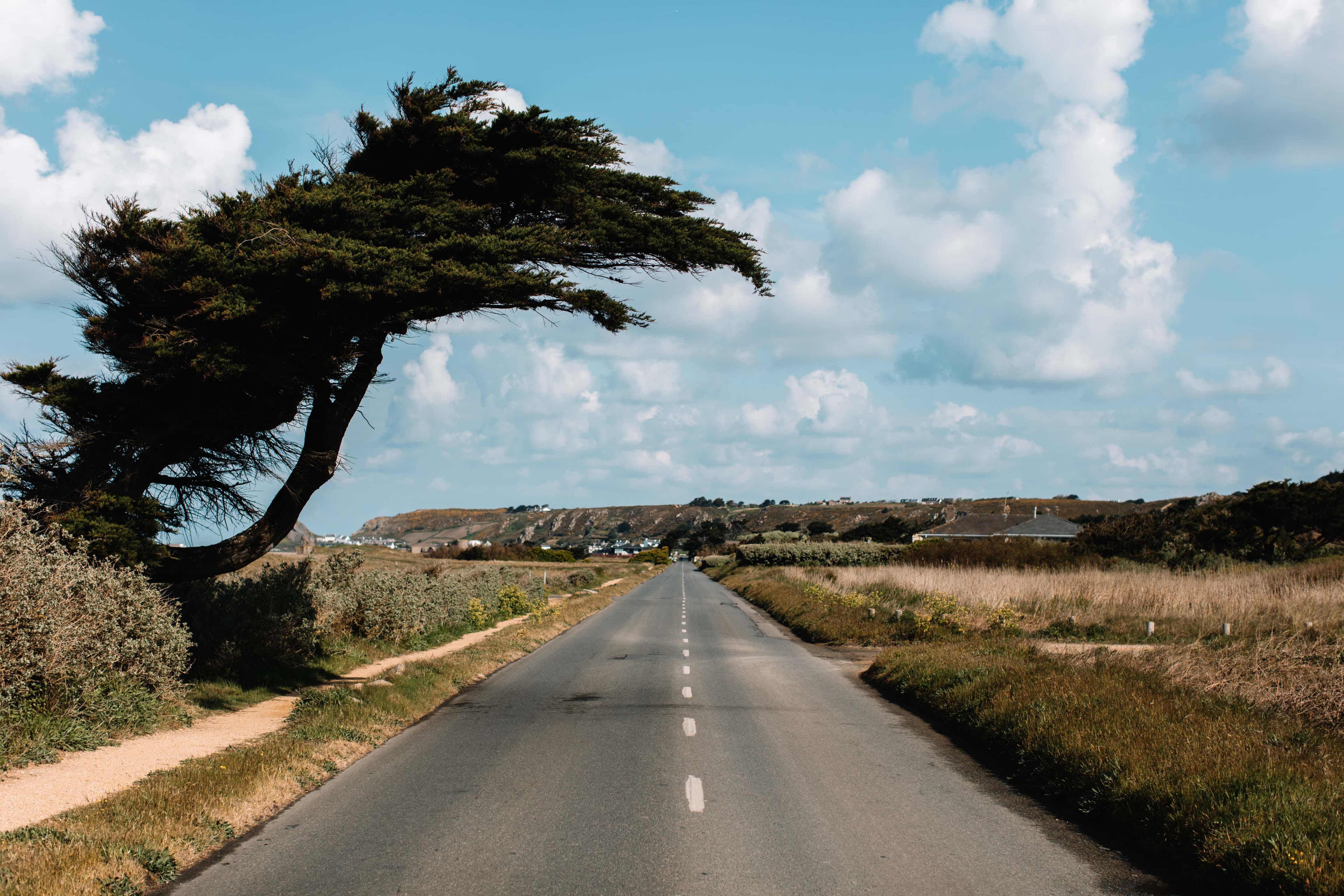
High-resolution, georeferenced 360° street-level imagery uploaded to Google Street View, refreshing Jersey's decade-old coverage for residents, tourists and businesses.
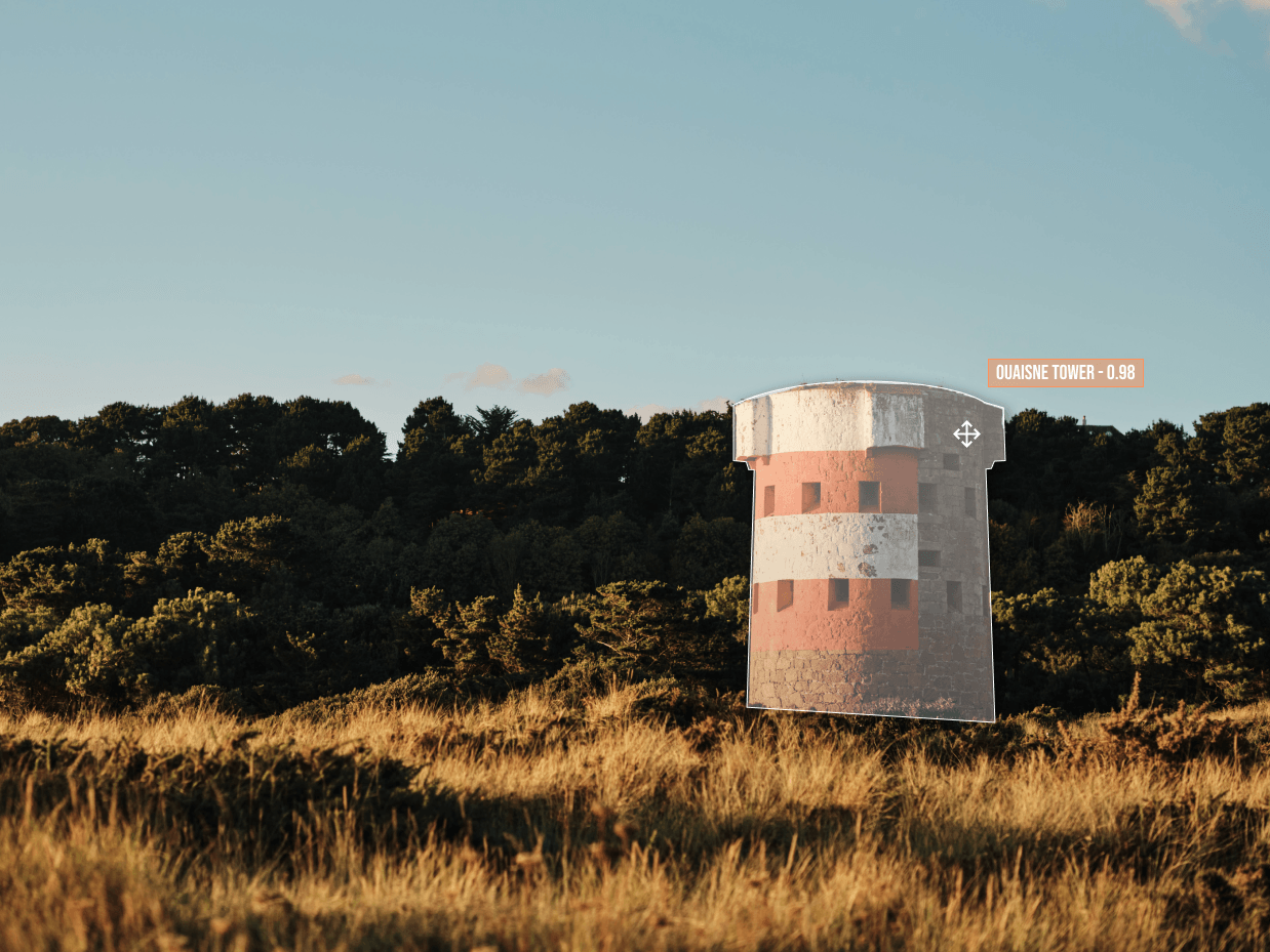
LiDAR Point Clouds
Precise 3D representations of Jersey's built environment, accurate enough for architects, engineers, and infrastructure planners to use directly in BIM and GIS workflows.
4/5G Connectivity Data
Georeferenced, timestamped upload and download speed measurements from Jersey's mobile network providers, making real-world coverage publicly visible for the first time.
Island-wide benefits
Infrastructure and Planning
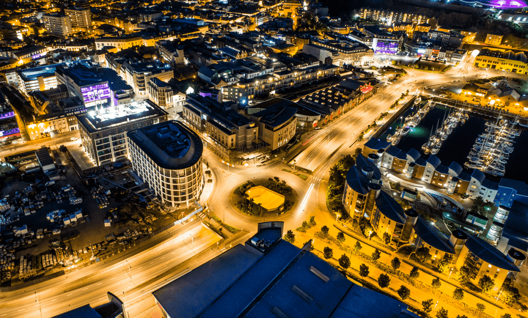
IslandView provides an island-wide dataset that can be used by architects, engineers, utilities and planners. This helps reduce duplicate surveys, lowers project costs and enables faster, more informed decisions about infrastructure and housing.
Local Businesses & Tourism
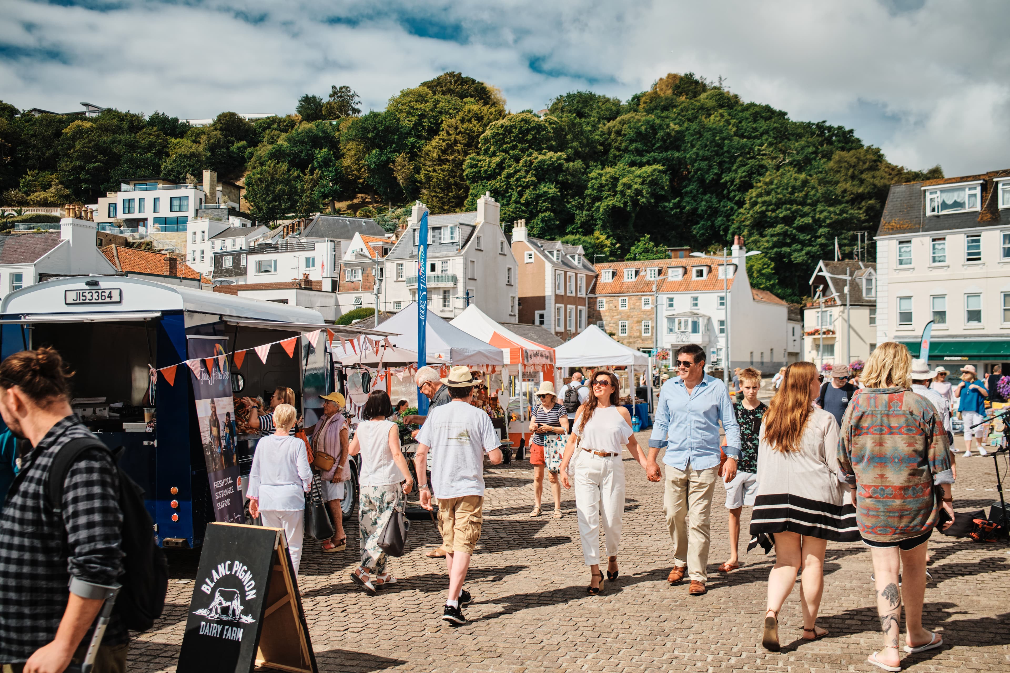
Jersey's Google Street View imagery is more than a decade old, meaning many businesses and developments are missing or outdated.
For businesses, an update to Google Street View translates to a cost-free marketing enhancement and increased customer attraction through improved digital presence, while tourists and residents gain better navigation and the ability to virtually explore the island.
Residents and Connectivity
The most recent public dataset describing Jersey's mobile network coverage dates back to 2014. IslandView will create the first independent dataset showing real-world 4/5G performance across the island, including upload and download speeds. This allows residents and businesses to directly compare real world coverage of telecom providers on the island.
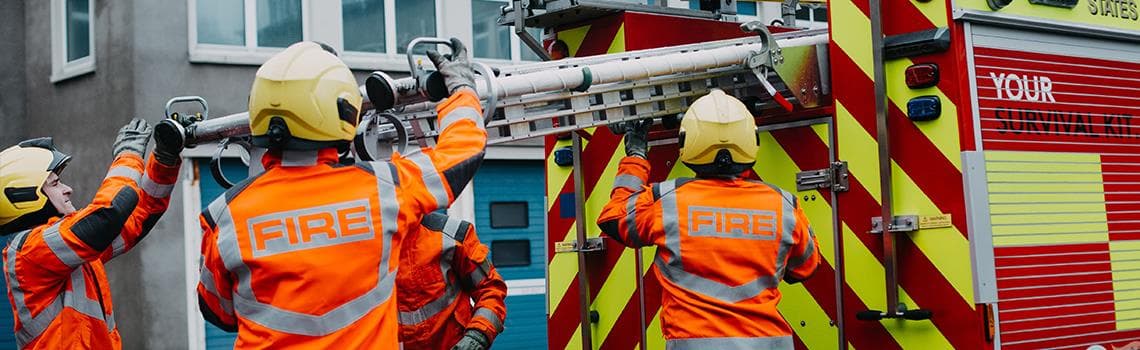
Emergency Services
Platforms such as Google Street View are used everyday by emergency services. Up-to-date imagery and spatial data can help responders understand buildings, road access and surrounding environments in advance, improving preparation and situational awareness.
Enabling Innovation
High-quality spatial data is a foundation for technologies such as digital twins, robotics, smart infrastructure and AI-driven analysis. By making the IslandView dataset available, the project lowers barriers for startups, researchers and developers to build new tools and services, helping position Jersey as a sandbox and testing ground for data-informed innovation.
Data handled responsibly.
IslandView is designed to comply with the Data Protection (Jersey) Law 2018. We collect street-level imagery in public spaces, and we take our responsibilities seriously.
Automatic Blurring
All imagery is processed using state-of-the-art algorithms to automatically blur people and vehicle number plates.
Owned by Digital Jersey
All datasets produced by IslandView are assigned in full to Digital Jersey. The data is a permanent public asset for the island and is not owned or controlled by Hest / RE.JE or any commercial third party.
Privacy Policy
Our privacy policy sets out how we collect and use data, the lawful basis for collection, how long data is retained, and your rights under the Data Protection (Jersey) Law 2018.
Read our privacy policyData Access Requests
If you believe you appear in our imagery and would like to request further masking or removal of your personal data, you can submit a request using the link below.
Submit requestFAQs
All datasets produced by IslandView are assigned in full to Digital Jersey as a permanent public asset for the island. The data is available for anyone to access, use, and build upon, now and in the future.
IslandView is delivered by Hest, a Jersey-based robotics and mapping company whose team spans computer science, architecture, data science, and mechanical and electrical engineering. Brought together through Jersey's growing tech ecosystem, we design and build technology solutions ranging from robotics and hardware engineering to data pipelines and software platforms, with a particular focus on the built environment. The project is funded through Impact Jersey's Innovation Programme and managed by Digital Jersey.
The Impact Jersey scheme funds technology projects with the aim of benefiting the island, the scheme is managed by Digital Jersey. Impact Jersey is funded by the Technology Accelerator Fund which is paid for by a £20 million dividend paid to the Government of Jersey by JT. IslandView is funded under Impact Jersey’s Innovation Programme which is still open for applications.
All datasets fully processed and published by the end of Month 12. The project runs for 12 months from 1st March 2026.
We are planning three separate survey passes across the project period to ensure the most comprehensive coverage possible, and our surveys will account for known roadworks and closures. While the vast majority of Jersey's accessible public highway network will be covered, a small number of road sections may be missed due to closures or restrictions outside our control.
LiDAR is a technology that uses laser pulses to measure distances and build up highly detailed, accurate 3D models of the real world. Think of it as a precise digital photograph, but in three dimensions. It captures buildings, roads, trees, and infrastructure with a different kind of detail than a standard camera. This makes it particularly valuable to architects, engineers, planners, and developers who need reliable measurements without having to visit a site in person.
First, a full refresh of street-level imagery, which hasn't been collected island-wide in over a decade. Camera and GPS technology have improved significantly in that time, and the updated imagery will be a considerable step forward in both visual and positional quality. Second, ground-based LiDAR data captured at street level, a perspective that has never been surveyed at an island-wide scale before. Jersey's existing aerial LiDAR provides an excellent geometric foundation, and because both datasets are georeferenced, they can be combined to great effect. Third, the island's first independent, real-world map of connectivity, covering both 4G and 5G. Together, these will be published as a single, accessible resource, providing Jersey with a comprehensive and up-to-date picture of its built environment and digital infrastructure.
Before any imagery is published, automated processing is applied to blur people and vehicle number plates. The project fully complies with the Data Protection (Jersey) Law 2018. If you spot yourself or your property in any of the published imagery and would like it removed or further obscured, an online request mechanism will be available. A link to this will also appear as a QR code on the survey vehicle itself.
For local businesses, updated Street View imagery means your premises will appear accurately on Google Street View, helping customers find you both online and in person. For tourists, it means being able to explore Jersey digitally, browsing streets and attractions, before they even arrive. Both outcomes are delivered at no cost to individual businesses or operators.
Islanders will be able to see an independent, real-world map of 4G and 5G signal strength across Jersey, including upload and download speeds, for the island's major network providers. For the first time, it will be possible to compare providers side by side and make an informed choice about which network best suits where you live and work.
Yes, and this is one of the most exciting aspects of the project. Digital Jersey, as the data custodian, is committed to making the data as accessible as possible to developers, startups, and researchers who want to build new applications and services. Whether that is navigation tools, planning applications, AI training datasets, or digital twin integrations, IslandView is designed to serve as a foundation for innovation.
People have already been suggesting uses for the data, including building racing simulations, detecting invasive species to monitor plant health, monitoring road conditions, and visualising new buildings in context.
If you have a project that could use the data, please get in touch. We are happy to discuss whether your use case is feasible and to offer advice.